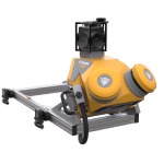

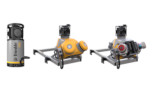

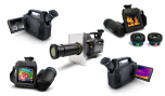
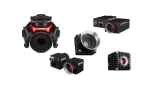
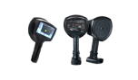

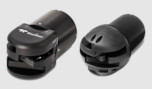
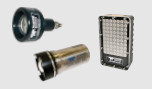
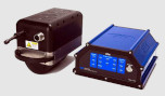
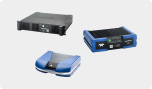


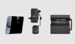
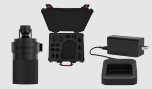


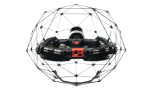
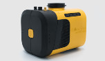


Trimble MX9
Innovative mobile mapping system for large-scale scanning & mapping missions
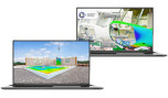
The Trimble MX9 is a complete field-to-finish mobile mapping solution that combines leading edge hardware with intuitive field software and a powerful, integrated office software workflow.
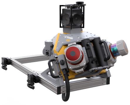
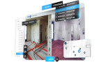
The MX9 typically mounts on the roof of a vehicle and rapidly captures laser scans and images – both panoramic and multi-angle – as you drive. Rich, immersive data can be captured at highways speeds, avoiding the need for expensive road closures and eliminating the risk associated with employees working along busy highways in dense traffic.
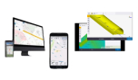
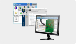
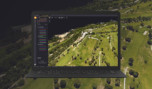
Following data capture, integrated office software tools allow the processing of the data and the generation of meaningful deliverables that can be published to an audience within or outside of your organization.
Key Features
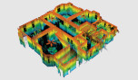
- Very high point cloud density and immersive imagery
- State of the art Trimble GNSS and Inertial technology
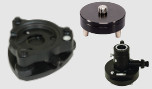
- Lightest and most compact premium mobile mapping system
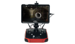
- Simple installation and browser based operation from a smart device
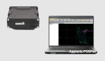
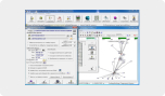
- Data processing in Trimble Business Center (TBC)
- Trimble MX software for feature extraction and data publishing
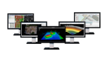
Applications
Whether you are a transportation professional, highway or rail inspector, civil engineer or city planner, the Trimble MX9 is the ideal solution to quickly and efficiently survey a large corridor or project and to generate deliverables such as:
- Road and rail assets
- Telecommunication asset inventories
- Elevation models
- Volumetric analyses
- 3D city models
- As-Built surveys