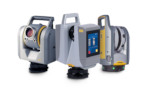
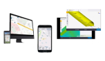
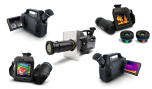
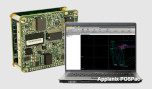
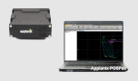
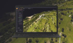
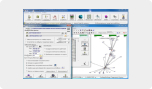
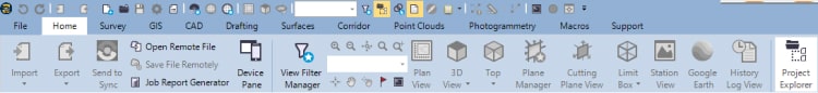
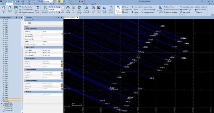
The Survey Office office software is the ideal all-in-one package for analyzing and processing GPS and GNSS data, as well as measurements from optical geodetic stations as well as their export in various formats. From the measurement management of geodetic stations and GNSS receivers, Scanners, Drones, to CAD and GIS functions, Survey Office will cover all your needs, as it uniquely merges the capabilities of managing all data up to the export of deliverables.
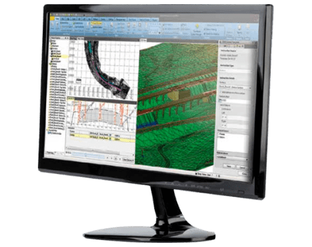
Version 5 is a major facelift of the software, as now the environment has been completely renewed and has become even more user-friendly, its capabilities have been renewed and are able to cover a wide range of applications, from simple surveying and surveying applications to Scanning applications, GIS, photogrammetric processing with data obtained with drones, etc. More specifically, the following tools have been added or renewed in the new version: Aerial Photogrammetry, GIS, Scanning, Tunneling while the licenses have been renewed and renamed: Field Data, Survey Intermediate Edition, Survey Advanced Edition.
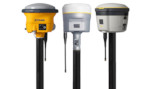
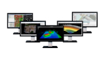
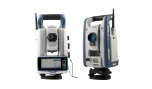
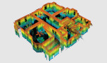
The new version 5.50 that has just been released has been enriched with a number of new features, such as indicatively the new visualization of repair results through histograms, interface with Android devices, creation of presentations of the deliverables through Trimble Clarity, support for new receivers such as Spectra’s SP85, support for the new Augmented Reality of Trimble’s SiteVision system, new tools for editing point clouds (creating lines in surface sections, improvements in the registration process, smoothing surfaces, etc.) and many new CAD functions.
Major Upgrades for Version 5.50 (June 2021)
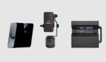
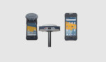
The software fully supports import and export of survey data collected using the latest Spectra Geospatial field software: Origin. Origin is a modern full-featured software supporting Android and Windows designed to meet surveying needs and intended as an upgrade / replacement for Spectra Geospatial Survey Pro
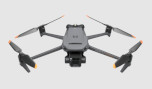
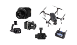
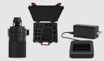
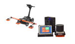
Import and edit DJI flight data – Use the new Import DJI UAV data command to import an RTK flight file collected from a DJI Phantom 4 RTK. Then process the data and create deliverables (point clouds, elevations / and orthomosaics) to SO or transfer the data to UASMaster for further processing.
Read more about the upgrades of the new version here.
Three licensed options are offered as well as the license-free, free Viewer version. As in previous releases of the software, each subsequent one includes the functions of the previous one:
- Viewer (Unlicensed)
- Field Data
- Survey Intermediate
- Survey Advanced
Survey Office software offers four modules to support specific workflows for surveying and construction applications:
- Aerial Photogrammetry
- GIS
- Scanning
- Tunneling