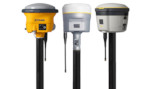
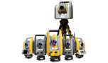
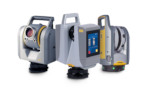
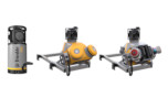


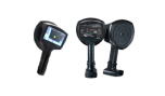

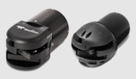
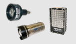
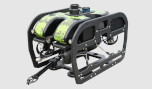

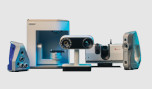
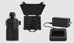

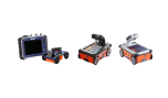
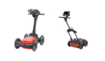
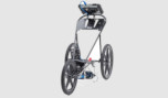
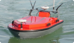
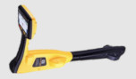
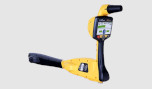
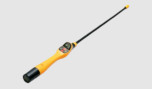
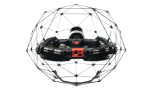
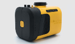


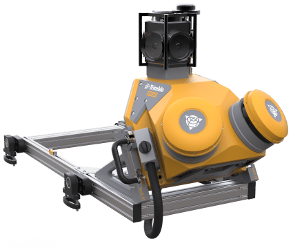
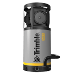
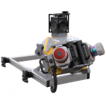
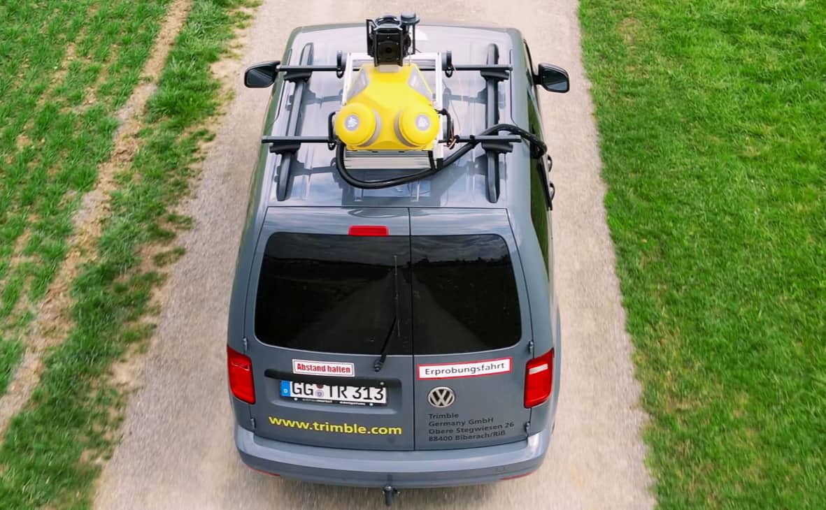
Trimble MX50
Take productivity on the road.
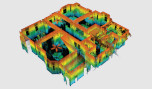
The Trimble® MX50 mobile mapping system delivers accurate point clouds with immersive imagery for easy asset management, mapping and maintenance.
Slash work time while harnessing the power of rich, reliable data that you control. Whether you are new to mobile mapping or an experienced mobile mapping professional, the Trimble MX50 will generate a step change in productivity.
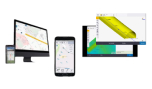
Effortlessly capture, process, extract and share data with proven field‑to‑finish workflows for asset mapping and asset data management.
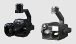
Leveraging state-of-art Trimble LiDAR technology, Trimble MX50 delivers the accurate data together with immersive imagery and efficient workflows needed for substantial gains in productivity.
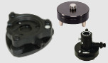
Powered by a Trimble precise laser system and 360-degree panoramic camera, the MX50 handles data flows seamlessly, at top speed, with high accuracy.
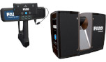
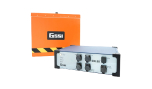
- Weight: Sensor unit 23 kg
- IP Rating: Sensor unit IP64
- Spherical camera: 30 MP (6 x 5 MP)
- Laser effective measurement rate: Up to 960kHz
- Scan speed: 240 scan/sec
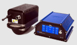
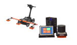
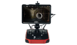
- Embedded Trimble GNSS-inertial system: Trimble field-to-finish workflow
Features at a glance
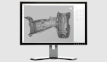
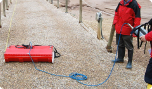
Quickly obtain asset data
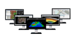
High-quality colorized point clouds and 360° immersive imagery with simple, smart device operation and single cable sensor connection.
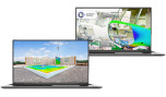
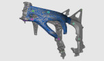
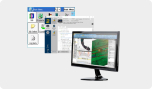
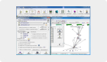
Process vehicle trajectory
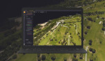
Trajectory data processing using tightly coupled GNSS and inertial data incorporated into Trimble Business Center software.
High-quality deliverables
Create survey, engineering and GIS deliverables using existing data schemas and connect to existing asset databases.
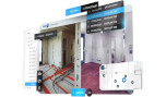
Publish & collaborate
Share for collaboration point clouds and images with overlaid existing asset data. Extract new assets and store them in databases.
