


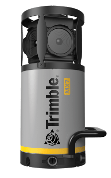
Trimble MX7
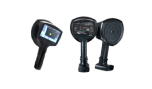
Highly portable mobile mapping system to capture precisely positioned street-level imagery
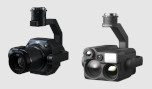
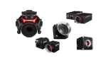
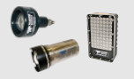
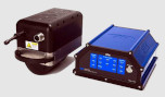
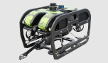
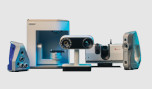
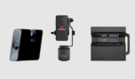
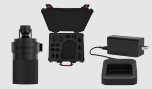
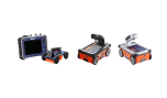
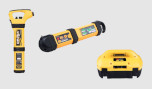
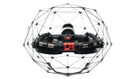
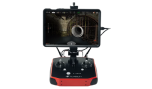
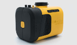
The Trimble MX7 is a vehicle-mounted photogrammetric system equipped with six, 5 megapixel cameras, and Trimble Applanix GNSS and inertial geo-referencing modules. The Trimble MX7 can be deployed on vehicles of all sizes, letting you capture 30 MP geo-referenced images at highway speeds..
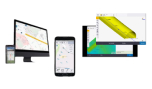
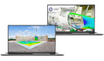
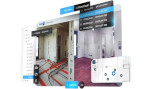
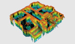
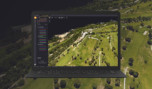
Utilize the Trimble MX7 to capture 360-degree, geo-referenced images at highway speeds to vastly reduce project operating cost whilst improving public safety. Then, use Trimble MX software to organize, visualize, interpret and efficiently extract structured data that can be integrated into a GIS and shared across your organization or via the Internet.
The Trimble MX7 Mobile Mapping Imaging system is a fast and cost effective way to manage assets such as bridges, buildings, roads, highways, and power stations, and document site conditions with geo-referenced images.
The Trimble MX7 with VISION™ technology is a vehicle-mounted photogrammetric system equipped with six, 5 megapixel cameras, and Trimble Applanix GNSS and inertial geo-referencing modules. The Trimble MX7 can be deployed on vehicles of all sizes, letting you capture 30 MP geo-referenced images at highway speeds.
- Rapid 360-degree geo-referenced image documentation
- Precision positioning using GNSS and inertial referencing system
- Deploys on all sizes of vehicles
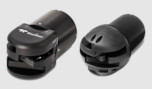
- Rugged, reliable and lightweight design with low power consumption
- Use with intuitive Trimble Mobile Imaging Capture software
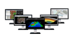
Software
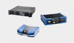
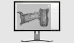
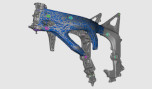
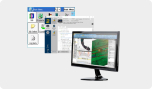
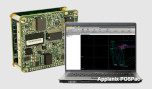
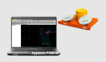
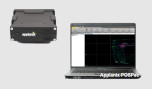
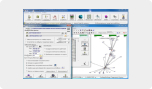
- The Trimble MX7 allows you to visually observe and capture the job site, then produce deliverables in the office later using Trimble Trident and Applanix POSPac™ MMS software. Trident Imaging Hub software is available with the system and offers robust object positioning, measurement, data layer creation, 3D models and analysis of geo-referenced imager
Applications
- Local government: asset inventory and management, city models
- Mining: construction, monitoring
- Oil and Gas: site monitoring, asset tracking, change detection
- Utilities: electrical, pipelines
- Large scale mapping
- Roads: condition surveys, visualization, maintenance