
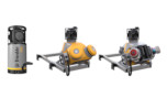
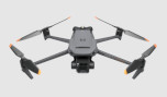
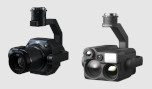


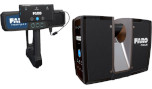

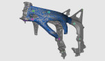


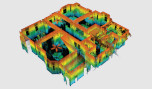


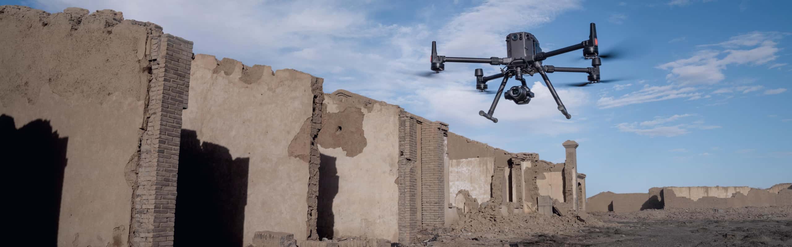
Smart Oblique Capture
Cover 7.5 km2 [4] in a single workday with the P1. Elevate the efficiency of your oblique photography mission using Smart Oblique Capture, where the gimbal automatically rotates to take photos at the different angles needed. Only photos essential to the reconstruction will be taken at the edge of the flight area, increasing the efficiency of post processing by 20%[5] to 50%[6].
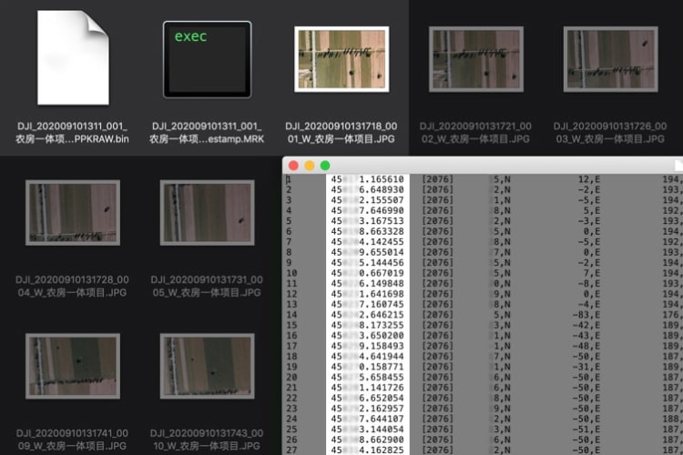
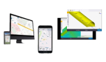
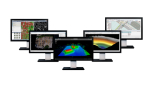
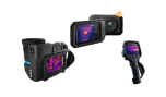
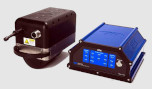
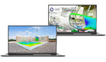
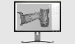
Smart Data Management
Your mission data management - streamlined. Your mission data management - streamlined. A centralized storage location for photos, GNSS data, and TimeStamps.MRK files. The image metadata contains the camera’s intrinsic and extrinsic parameters and the status of RTK.
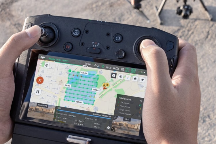
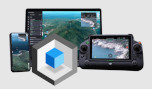
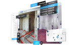
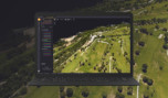
Fieldwork Report
Verify data quality immediately post-flight by checking the position data and number of the images acquired, as well as RTK status and positioning accuracy.
