GSSI UtilityScan™

GPR System Optimized for Utility Locating

Locating and marking underground utilities in real-time in the field has been a powerful application of ground penetrating radar (GPR) for many years. A knowledgeable utility locator with a GPR system as part of their toolbox is able to accurately identify buried utilities. UtilityScan is built for the utility locating professional to accelerate workflow from target detection to reporting.

Locating and marking underground utilities in real-time in the field has been a powerful application of ground penetrating radar (GPR) for many years. A knowledgeable utility locator with a GPR system as part of their toolbox is able to accurately identify buried utilities. UtilityScan is built for the utility locating professional to accelerate workflow from target detection to reporting.

Easily and accurately map utilities in real-time

Powerful mapping features, seamless sensor and GPS integration, and unmatched product reliability make the UtilityScan system an indispensable tool for utility locating professionals around the world.

UtilityScan features a wireless and lightweight configuration, patented HyperStacking technology for unmatched data quality, and a built-in LineTrac system. This state-of-the-art system sets new standards for performance and price. It has a 350 MHz antenna, detects targets at a depth of up to 10 m. 64 GB storage capacity.

Typical uses of UtilityScan include:

  • Scanning Utilities (Metallic and Non-Metallic)
  • Locating water lines
  • Detection of voids and underground storage tanks (USTs)
  • Determination of soil and foundation characteristics
  • Locating shallow archaeological objects

System Includes:

  • 350 HS antenna (350 MHz)
  • Choice of control unit with system mount:
    • Customized Panasonic Toughpad® FZ-A2 or,
    • NVIDIA SHIELD™ Tablet
  • Lithium-ion battery (2)
  • Dual-bay battery charger
  • Rugged 2 m ethernet cable
  • LineTrac, optional
  • Sunshade for Panasonic A2
  • Quick Start Guide
  • 2-year warranty


Features

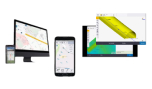
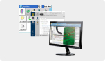
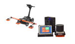
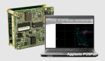
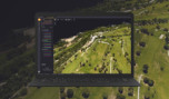
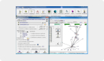
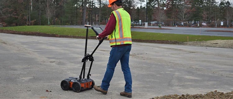
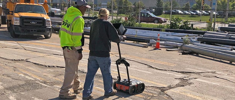
Real-Time Target Mapping

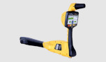
Map Mode allows users to trace their steps and gain a bird’s-eye view of their survey. Users can also simultaneously place American Public Water Association (APWA) color-coded marks on 2D data and a geo-referenced map. The on-screen 3D data collection mode allows users to easily define the time slice depth and thickness in the field with the 3D data on the screen. The map window can be minimized to view the 3D display full screen.

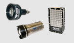
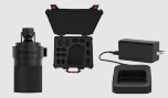
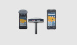
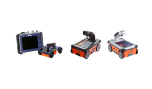
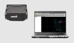
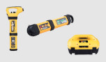
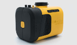
Integrated Advanced Sensor

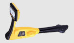
UtilityScan can be configured with an optional LineTrac® power detection module. LineTrac is designed to identify and trace the precise location of underground electric and RF-induced utilities. This allows the detected power or induced frequencies data to be overlaid on the radar data, providing reliable positioning and target information to the user. These technologies are integrated into one seamless system to aid in target recognition and mapping, a first for the utility detection industry.

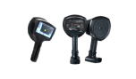
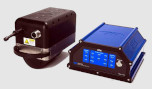
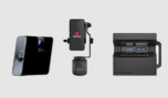
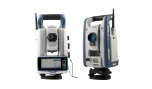
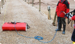
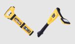
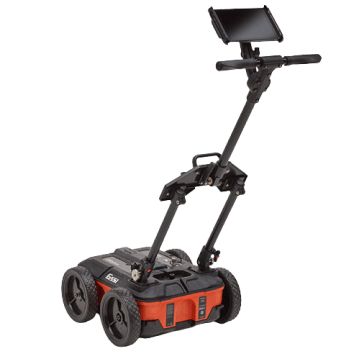
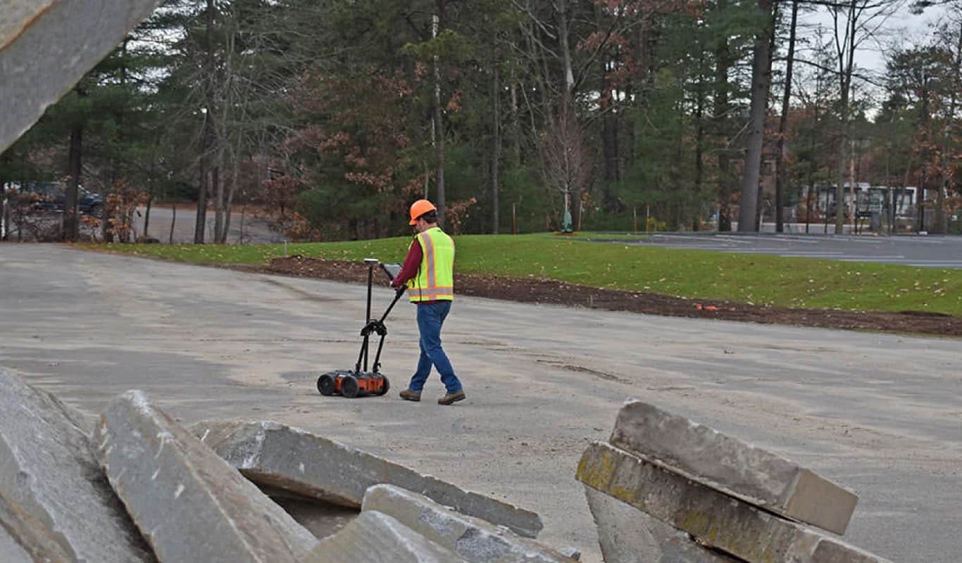
Rugged System for Construction Environments

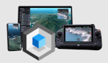
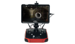
UtilityScan is rated IP65 and built to meet your job site needs. It can withstand the most challenging survey environments including rain, dust, and extreme cold down to -20°C (-4°F). The Panasonic G2 tablet screen is designed for rain and glove use. For areas where Wi-Fi is prohibited, this system includes a rugged Ethernet cable that can be used for communication between the tablet and antenna.

Media

Images

Videos

Get a Quote

Όνομα*
Επίθετο*
Email*
Τηλέφωνο*
Εταιρία*
Πόλη*
Χώρα*
Σημειώσεις