


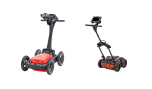

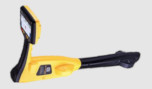
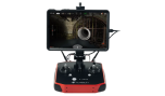


Topographic/General Surveys
The Trimble X12 quickly captures features for land title surveys, buildings, roads, intersections, site improvements, encroaching elements and complex structures: Document and highlight features or items of interest using annotations. Assign labels to each scan to create logical scan groups and annotations with pictures while scanning the next station. Use auto-classification tools to extract data corresponding to the ground, buildings, powerlines, signs, vegetations, and more. Create as-builts of road corridors, intersections, roadway surfaces, lane striping, flow lines, manholes, right of ways, overhead power lines, and other features.
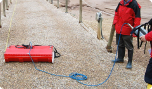
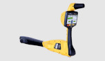
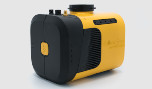
Civil Infrastructure
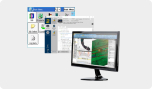
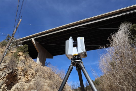
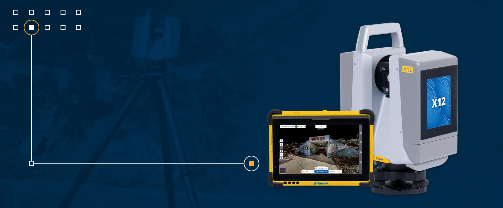
With the Trimble X12, you can create as-built documentation for drawings or models for bridges, tunnels, dams and other civil infrastructure with a range that allows for operation from a safe distance, while the area scan feature provides high-resolution data on areas of interest. Also use it to: Incorporate scan information in clearance calculations, modeling, inspections, renovations, and expansion work. Leverage high-speed data capture and quickly capture area scans to reduce downtime for critical infrastructure projects. Benefit from unmatched HDR image quality for visual inspection and sharing of information. Register in the field to verify scan data is complete before importing to Trimble Business Center or Trimble RealWorks® at the office.

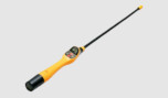
Cultural Heritage
The Trimble X12 helps you plan restoration efforts or simply capture history. Historic preservation projects require great detail to inspect or monitor surface deterioration as well as high-resolution imagery for documentation, analysis and restoration. Also use it to: Retain important details with high-resolution area scans on points of interest and safely capture inaccessible areas from a distance. Digitally preserve fragile artifacts for re-creation. Document and share the site with high-resolution panoramas and clear color imagery. Add annotations in the field with images to highlight critical areas of interest back in the office. Check data quality before leaving the site to eliminate costly and time-consuming field revisit.
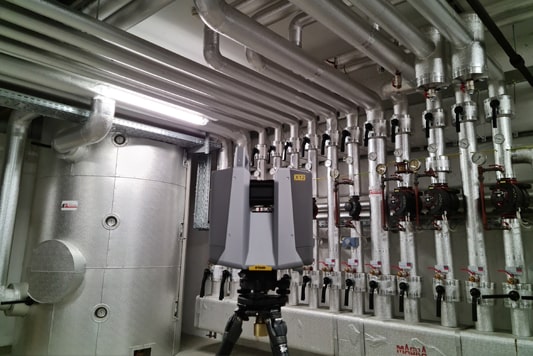
Industrial Survey
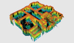
The Trimble X12 enables users to create accurate as-builts of complex industrial facilities for modeling and revamp designs. Also use it to: Take high-resolution area scans for more detail on points of interest and safely capture inaccessible areas from a distance. View details of existing conditions for critical decisions. Enhance in-field documentation with annotations and pictures of tie-in locations inside Trimble Perspective. Georeference scans to plant coordinate systems using Trimble RealWorks target- based registration and survey control for export-to-plant design software to do piping layouts, check fabrication spools, and detect interferences with CAD models.
