


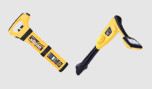
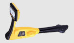


Trimble SiteVision
The power of information reimagined
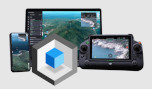
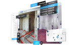
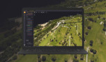
Trimble SiteVision is a user-friendly outdoor augmented reality system that brings data to life so you can visualize and explore complex information with unrivaled accuracy.
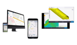
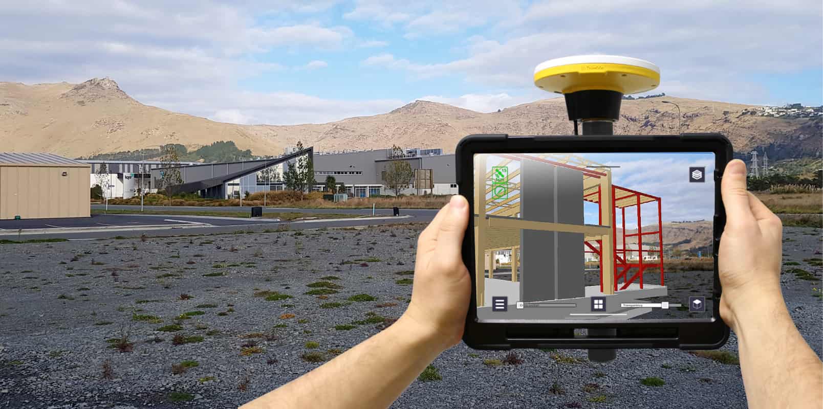
Imagine if you could see things that are hidden or that don’t exist yet. With the Trimble® SiteVision™ outdoor augmented reality (AR) system now you can. SiteVision brings data created in the office to life so you can easily visualize and understand complex information from it with unrivaled accuracy, right from your mobile device.
Take a walk around your work environment and visualize:
- Your design data, from buildings to roads, as they would appear in the space
- Anything that is underground or inside walls, such as water pipes and electrical wiring
Present the natural space in your designs:
- Through interactivity with complex designs
- Identify assets accurately.
- Minimize project errors to increase safety
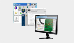
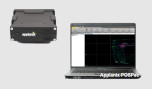
Simply upload your data, visualize and manage it in the field via the Trimble Cloud.
SiteVision unlocks and simplifies the use of geospatial information, allowing you to see your data, making it the ideal tool throughout the project. By meeting the need to capture and update geospatial data accurately and reliably, SiteVision helps create effective projects.
Contact us for all available solutions regarding Trimble SiteVision at 210 8023917 or via email at [email protected].
Utilities
- Replace color markings and 2D drawings with accurate renderings. Verify and confirm database integrity.
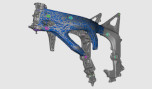
- Convert existing (or geospatial) GIS data into 3D models.
- Check position offset from property boundaries and occupation or measure the distance between pipes, pillars or valves within your model.
Local government
- Promotes citizen participation and collaboration between government offices, inspectors and public bodies ultimately helping you save time and money.
- Provides real-time visualizations of information such as locating emergency services after a disaster, planning a public works project, protecting and preserving a cultural heritage site.
- Displays complex government database information as easy-to-understand visualizations so that issues and discrepancies can be quickly identified and reported leading to effective and confident decisions.
Land Survey
- Visualize parcel boundaries in real-time within the field environment.
- Accurately locate buried memorial.
- Monitor site progress through easy-to-understand visualizations.
- Convert existing geospatial data into easy-to-understand 3D models with features for public and contractor engagement
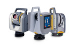
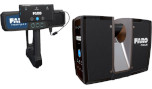
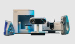
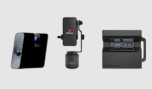
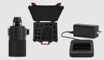
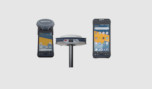
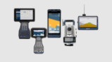
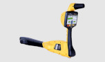
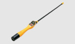
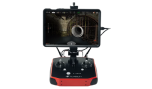
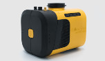
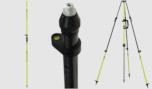
Complete solution
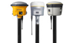
- Centimeter precision GNSS tracking in collaboration with the Trimble Catalyst service
- Supports 2D and 3D data from Esri databases, digital terrain models, DWG, . SKP drawing files and IFC format files
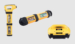
- Remote measurement with rangefinder
- Flexible design fits Android ™ 9 version devices (with screen up to 8″)
- Waterproof and robust
- Use in the hand or placed on a pad
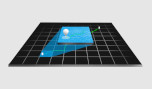
- Place the models directly on the measurement space with cm-level accuracy
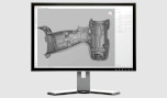
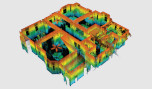
- View textured models in 3D, plan view or cross-section
- View features on your model
- View underground models with PitView
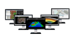
- Works seamlessly with your existing workflows and data, open industry standards and file types: Trimble Business Center, SketchUp, Esri, AutoCAD.
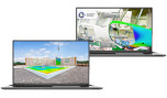
Features at a glance
Visualize in 3D
Place and view georeferenced 3D models from any angle at true-to-life scale—above or below the ground.
Measure
Measure positions using GNSS, Electronic Distance Measurement, and Augmented Reality to better understand your data on site.
Collaborate
Share, communicate, and collectively interact in real time with easy-to-understand visualizations.
Report
Take photos, record measurements, and make notes in the field. Create and assign tasks to team members.
