Trimble Business Center
Field-to-finish survey CAD software.
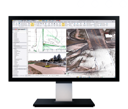
Trimble Business Center (TBC) by Trimble, is a software enables surveyors to transform field data from GNSS receivers, total stations, laser scanners, mobile mapping systems, drones and more into high-quality, actionable information and client deliverables.
Leverage field-to-finish workflows with confidence through traceable data. Leverage one software environment that delivers the flexibility and capabilities needed for surveyors’ diverse project requirements.
Powerful workflows for superior results
From the industry-leading GNSS baseline processor to dynamic surfaces, point cloud classification and feature extraction, optimize your data and deliverables.
View & adjust raw data in one software
Eliminate unnecessary data exports, correct field blunders, reduce rework and ensure data traceability in a single application.
Trimble Business Center the field-to-finish survey CAD software, offers:
Data prep:
Create constructible modelsField data adjustment:
Reduction and post-processing toolsGIS:
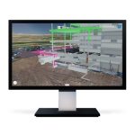
Link attributes & geometry to EsriPoint clouds & scanning:
Extract info and classify regionsSurfaces:
Dynamically link & updateTakeoff:
Quantities for planning & payment
Features
Below, you will find the main features of the product.
Work with data, not coordinates
Review and adjust metadata like rod heights and vector quality, and then refine your raw observations with a least squares routine or GNSS post-processing.
Support all survey sensors
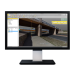
Bring your GNSS, total station, digital level, terrestrial scan, UAV, mobile mapping and machine control data into one project environment.
Report & share results
Work across standard industry hardware formats. Then, connect your project to software providers such as ESRI, Autodesk, Bentley and more.
Report, create, export & more
Start and stay in TBC with options like adjustment reports, digital surfaces, classified point cloud regions, constructible corridors and third-party exports.
Varied Applications
Trimble transforms data into real-world intelligence using the most progressive, reliable and accurate precision technology to meet needs of varied applications.
The future of your work
Trimble facilitates high quality, productive workflows and data exchange, driving value for a global, diverse user base.
Applications
Discover the applications in which the product can be used.
Aerial Photogrammetry
Cadastral
Monitoring
Mobile Mapping
Tunneling
Roading
Multimedia
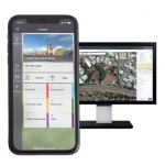
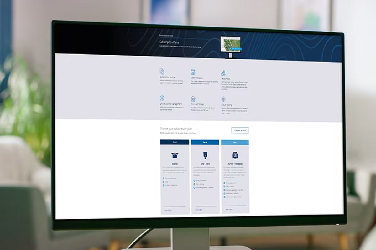
Below you will find all available multimedia, including videos & images.
Related Products
See related products from this manufacturer
Get a Quote
You can fill out the contact form below and one of our representatives will contact you shortly.
