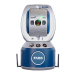
FARO Sphere XG
Digital Reality Platform
FARO Sphere XG, by FARO, is a cloud-based digital reality platform that provides its users a centralized, collaborative experience across the company’s reality capture and 3D modeling applications. When paired with the Stream mobile app, Sphere XG enables faster 3D data capture, processing and project management from anywhere in the world.
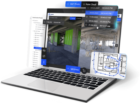
Sphere XG systematizes every activity while remaining intuitive to navigate, allowing users the ability to better organize their 3D scans and 360° photos alongside 3D models and manage that data across diverse teams around the world.
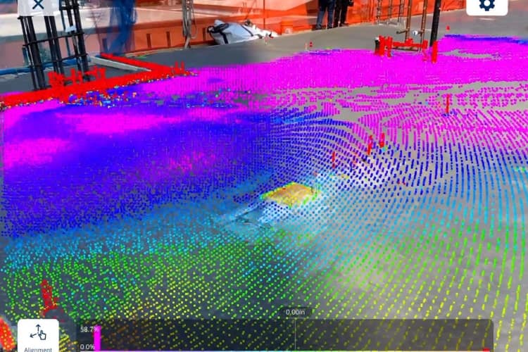
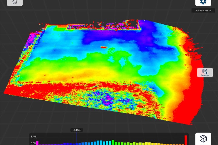
With Sphere XG, 3D point clouds and 360° photo documentation can be viewed and shared all in one place, aligned to a floorplan and viewable over time. Ideal for 4D construction progress management where the ability to compare elements over time is critical, project managers and VDC managers can better democratize data and eliminate the need to use two platforms for their reality capture needs.
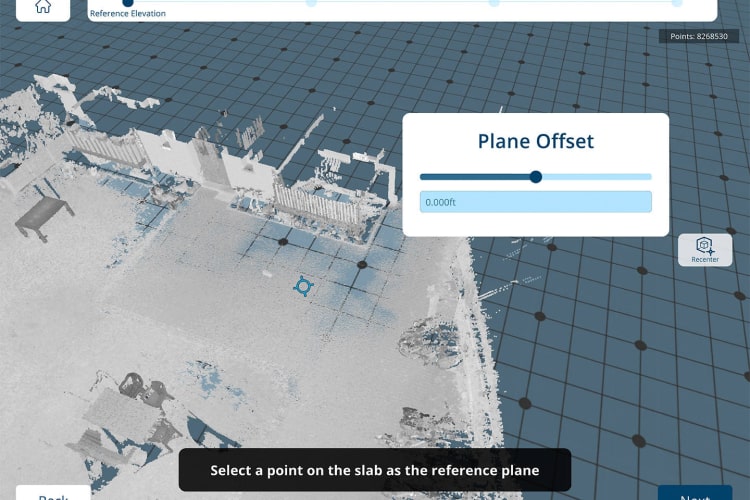
Now you can import your georeferenced 3D models into Sphere XG and have it aligned effortlessly with your point clouds to track projects and identify potential issues, clashes, or deviations efficiently in one platform. The result is de-siloed data, greater ease of use, and the enhanced ability to share unified, accurate and up-to-date 4D progress documentation in a centralized location.
With Sphere XG, users can:
- Close existing workflow gaps by enabling remote collaboration, project monitoring and completion from anywhere in the world
- Eliminate additional site visits due to registration failure or incomplete scans
- Inform project stakeholders that a scan is complete and that modeling can begin, speeding job completion times yielding significant savings per project
- De-silo data by connecting your point clouds, 360° photos, and 3D models in a single project
Features
Below, you will find the main features of the product.
Time Travel for 4D Project Management
With Sphere XG, users will be able to enjoy ease-of-use and trouble-free navigation for 360° photos, point clouds and 3D models. With one platform for all your reality capture and design needs, users can view and compare 360° photos and 3D point clouds with 3D models, enabling unprecedented 4D data management and the ability to go back in time to review earlier stages of jobsite progress.
Dynamic Data Management
Sync on-site reality data to a cloud-based data hub to ensure project stakeholders have complete line-of-sight on project completion no matter where they reside or where they log in. A consolidated platform for reality capture and design data that are always aligned reduces risks of communication misfires, wasted materials and costly rework leading to enhanced organization and project management.
Complete Projects Faster
Simplify operations with secure single point sign-on to provide faster access to reality data and improve time to decision. Provide your business a centralized, focused, efficient and collaborative multi-tiered package-based user experience across FARO service platforms and point cloud applications, all from a common web browser.
Ensure Accuracy And Quality Control
Pre-registration of scans via the FARO Stream app and upload to Sphere XG speeds time to completion and reduces the need to return on-site should any off-site registration failures occur. This added efficiency will drive new business opportunities as it accelerates the customer life cycle.
A Single Source Of Information
In addition to direct project management and on-site data upload, Sphere XG acts as the hub for all service, training and technical documentation needs. Users will always know where to go to get the answers they need and is yet another way to reduce bottlenecks and drive business efficiencies.
Eliminate Geographical Boundaries
Collaborate with colleagues, project managers, designers, engineers, contractors and other project stakeholders in a seamless, centralized digital hub from anywhere in the world, reducing the cost of travel and overhead.
Applications
Discover the applications in which the product can be used.
Stream Mobile App
FARO Receives SOC 2 Type 2 Report
Testimonials
Read what our satisfied customers have to say.
Related Products
See related products from this manufacturer
Get a Quote
You can fill out the contact form below and one of our representatives will contact you shortly.